
Schortens topographic map
Interactive map
Click on the map to display elevation.
About this map
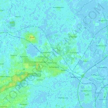
Name: Schortens topographic map, elevation, terrain.
Location: Schortens, Frise (arrondissement), Basse-Saxe, 26419, Allemagne (53.50400 7.83053 53.60111 8.04982)
Average elevation: 7 ft
Minimum elevation: -13 ft
Maximum elevation: 43 ft