
Wenum topographic map
Interactive map
Click on the map to display elevation.
About this map
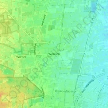
Name: Wenum topographic map, elevation, terrain.
Location: Wenum, Gelderland, Nederland, 7345, Nederland (52.23467 5.94329 52.27467 5.98329)
Average elevation: 49 ft
Minimum elevation: 13 ft
Maximum elevation: 108 ft