
Wood End topographic map
Interactive map
Click on the map to display elevation.
About this map
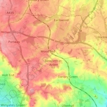
Name: Wood End topographic map, elevation, terrain.
Average elevation: 456 ft
Minimum elevation: 259 ft
Maximum elevation: 581 ft
Other topographic maps
Click on a map to view its topography, its elevation and its terrain.
Stratford-upon-Avon
United Kingdom > England > Warwickshire > Stratford-on-Avon
Stratford-upon-Avon, Stratford-on-Avon, Warwickshire, England, United Kingdom
Average elevation: 200 ft