
Brooklyn State Wildlife Area topographic map
Interactive map
Click on the map to display elevation.
About this map
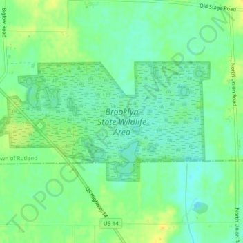
Name: Brooklyn State Wildlife Area topographic map, elevation, terrain.
Average elevation: 951 ft
Minimum elevation: 919 ft
Maximum elevation: 994 ft