
Baude topographic map
Interactive map
Click on the map to display elevation.
About this map
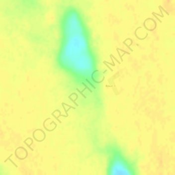
Name: Baude topographic map, elevation, terrain.
Location: Baude, Bouri 1, Kanem, Tchad (14.47121 15.98279 14.47131 15.98289)
Average elevation: 1,040 ft
Minimum elevation: 958 ft
Maximum elevation: 1,060 ft