
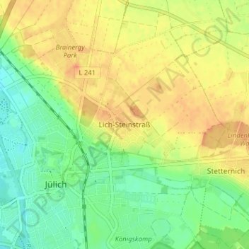
Lich-Steinstraß topographic map
Interactive map
Click on the map to display elevation.
About this map
Name: Lich-Steinstraß topographic map, elevation, terrain.
Average elevation: 315 ft
Minimum elevation: 249 ft
Maximum elevation: 377 ft
Other topographic maps
Click on a map to view its topography, its elevation and its terrain.
Koslar
Deutschland > Nordrhein-Westfalen > Kreis Düren > Jülich
Koslar, Jülich, Kreis Düren, Nordrhein-Westfalen, Deutschland
Average elevation: 295 ft