
Donaustadt topographic map
Interactive map
Click on the map to display elevation.
About this map
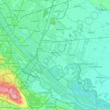
Name: Donaustadt topographic map, elevation, terrain.
Location: Donaustadt, Vienna, 1220, Austria (48.13522 16.39813 48.29353 16.57751)
Average elevation: 535 ft
Minimum elevation: 476 ft
Maximum elevation: 830 ft
Other topographic maps
Click on a map to view its topography, its elevation and its terrain.