
Antsalova topographic map
Interactive map
Click on the map to display elevation.
About this map
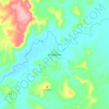
Name: Antsalova topographic map, elevation, terrain.
Location: Antsalova, Melaky, Province de Mahajanga, 406, Madagascar (-18.71575 44.58194 -18.63575 44.66194)
Average elevation: 400 ft
Minimum elevation: 266 ft
Maximum elevation: 794 ft
Other topographic maps
Click on a map to view its topography, its elevation and its terrain.
Tsingy de Bemaraha National Park
Tsingy de Bemaraha National Park, Melaky, Province de Mahajanga, Madagascar
Average elevation: 814 ft
Besalampy
Besalampy, Melaky, Province de Mahajanga, Madagascar
Average elevation: 72 ft