
Wettin topographic map
Interactive map
Click on the map to display elevation.
About this map
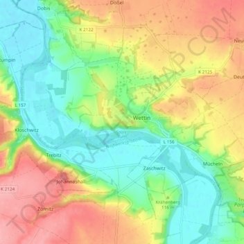
Name: Wettin topographic map, elevation, terrain.
Location: Wettin, Wettin-Löbejün, Saalekreis, Saxe-Anhalt, Allemagne (51.55833 11.75522 51.61474 11.85016)
Average elevation: 377 ft
Minimum elevation: 217 ft
Maximum elevation: 584 ft