
Edgerston topographic map
Interactive map
Click on the map to display elevation.
About this map
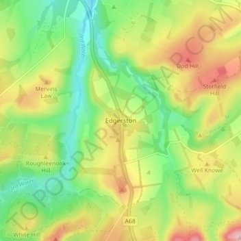
Name: Edgerston topographic map, elevation, terrain.
Location: Edgerston, Scottish Borders, Scotland, TD8 6PW, United Kingdom (55.37781 -2.51921 55.41781 -2.47921)
Average elevation: 715 ft
Minimum elevation: 423 ft
Maximum elevation: 1,112 ft