
Hoogersmilde topographic map
Interactive map
Click on the map to display elevation.
About this map
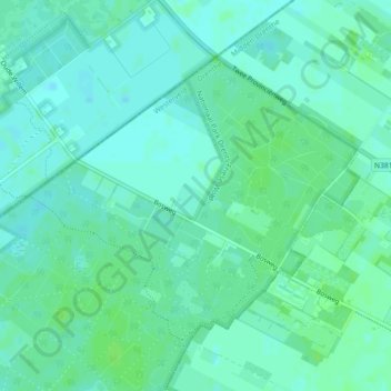
Name: Hoogersmilde topographic map, elevation, terrain.
Location: Hoogersmilde, Westerveld, Drenthe, Nederland (52.90291 6.34354 52.92198 6.38559)
Average elevation: 39 ft
Minimum elevation: 26 ft
Maximum elevation: 52 ft