
Municipio de Juan José Castelli topographic map
Interactive map
Click on the map to display elevation.
About this map
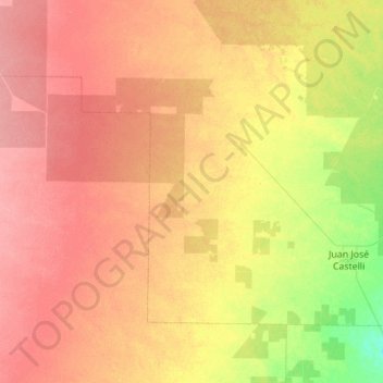
Name: Municipio de Juan José Castelli topographic map, elevation, terrain.
Average elevation: 427 ft
Minimum elevation: 328 ft
Maximum elevation: 518 ft
Other topographic maps
Click on a map to view its topography, its elevation and its terrain.
Resistencia
Argentinien > CCO > Resistencia
Resistencia, Departamento San Fernando, CCO, Argentinien
Average elevation: 167 ft