
云南路街道 topographic map
Interactive map
Click on the map to display elevation.
About this map
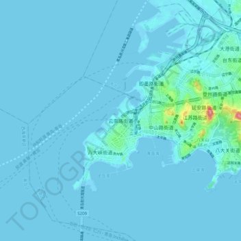
Name: 云南路街道 topographic map, elevation, terrain.
Location: 云南路街道, 市南区 (Shinan), 青岛市, Shandong, 266001, China (36.02735 120.26131 36.10735 120.34131)
Average elevation: 16 ft
Minimum elevation: -7 ft
Maximum elevation: 381 ft