
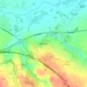
Ølholm topographic map
Interactive map
Click on the map to display elevation.
About this map
Name: Ølholm topographic map, elevation, terrain.
Location: Ølholm, Hedensted Municipality, 7160, Denmark (55.81674 9.50815 55.85674 9.54815)
Average elevation: 226 ft
Minimum elevation: 161 ft
Maximum elevation: 338 ft