
Parque Internacional La Amistad topographic map
Interactive map
Click on the map to display elevation.
About this map
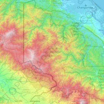
Name: Parque Internacional La Amistad topographic map, elevation, terrain.
Location: Parque Internacional La Amistad, Naso Tjër Di, Panamá (8.80004 -82.93611 9.49447 -82.33498)
Average elevation: 3,875 ft
Minimum elevation: -3 ft
Maximum elevation: 11,578 ft