
Beni Messous topographic map
Interactive map
Click on the map to display elevation.
About this map
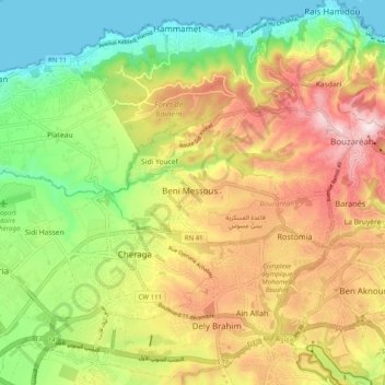
Name: Beni Messous topographic map, elevation, terrain.
Location: Beni Messous, Daïra Bouzareah, Alger, 16001, Algérie (36.73962 2.93539 36.81962 3.01539)
Average elevation: 594 ft
Minimum elevation: 0 ft
Maximum elevation: 1,309 ft