
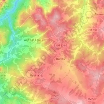
Ruvina, Ruivós e Vale das Éguas topographic map
Interactive map
Click on the map to display elevation.
About this map
Name: Ruvina, Ruivós e Vale das Éguas topographic map, elevation, terrain.
Location: Ruvina, Ruivós e Vale das Éguas, Sabugal, Guarda, Portugal (40.40129 -7.03903 40.45305 -6.96799)
Average elevation: 2,539 ft
Minimum elevation: 2,195 ft
Maximum elevation: 2,749 ft