
Yataity topographic map
Interactive map
Click on the map to display elevation.
About this map
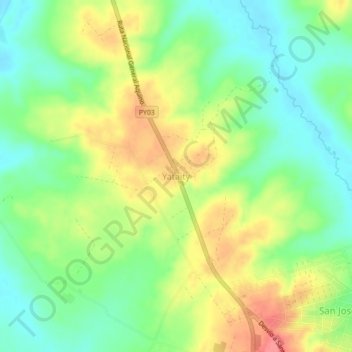
Name: Yataity topographic map, elevation, terrain.
Location: Yataity, San Pedro, Región Oriental, 8210, Paraguay (-24.66153 -56.49097 -24.62153 -56.45097)
Average elevation: 512 ft
Minimum elevation: 407 ft
Maximum elevation: 650 ft