
Artés topographic map
Interactive map
Click on the map to display elevation.
About this map
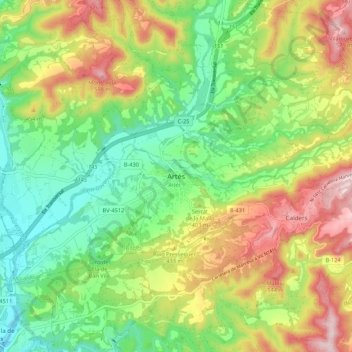
Name: Artés topographic map, elevation, terrain.
Location: Artés, Bages, Barcelona, Cataluña, 08271, España (41.75867 1.91489 41.83867 1.99489)
Average elevation: 1,234 ft
Minimum elevation: 745 ft
Maximum elevation: 1,962 ft