
Jesús del Valle topographic map
Interactive map
Click on the map to display elevation.
About this map
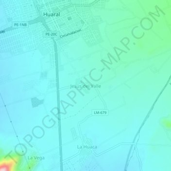
Name: Jesús del Valle topographic map, elevation, terrain.
Location: Jesús del Valle, Huaral, Provincia de Huaral, Lima, Perú (-11.53218 -77.21893 -11.49218 -77.17893)
Average elevation: 607 ft
Minimum elevation: 499 ft
Maximum elevation: 1,371 ft