
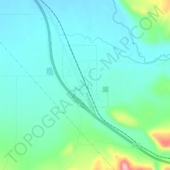
Lima topographic map
Interactive map
Click on the map to display elevation.
About this map
Name: Lima topographic map, elevation, terrain.
Location: Lima, Montana, 57939, États-Unis d'Amérique (44.61617 -112.61121 44.65617 -112.57121)
Average elevation: 6,306 ft
Minimum elevation: 6,184 ft
Maximum elevation: 6,775 ft