
Kirehe District topographic map
Interactive map
Click on the map to display elevation.
About this map
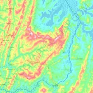
Name: Kirehe District topographic map, elevation, terrain.
Location: Kirehe District, Eastern Province, Rwanda (-2.41941 30.45849 -1.97123 30.89907)
Average elevation: 4,747 ft
Minimum elevation: 4,206 ft
Maximum elevation: 6,270 ft