
Anderen topographic map
Interactive map
Click on the map to display elevation.
About this map
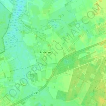
Name: Anderen topographic map, elevation, terrain.
Location: Anderen, Aa en Hunze, Drenthe, Nederland (52.97889 6.66438 53.02279 6.71733)
Average elevation: 43 ft
Minimum elevation: 16 ft
Maximum elevation: 69 ft