
Mértola topographic map
Interactive map
Click on the map to display elevation.
About this map
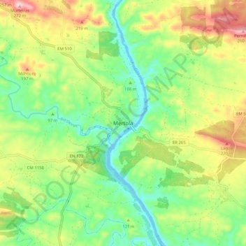
Name: Mértola topographic map, elevation, terrain.
Location: Mértola, Beja, 7750-306, Portugal (37.60204 -7.70064 37.68204 -7.62064)
Average elevation: 341 ft
Minimum elevation: -13 ft
Maximum elevation: 886 ft