
Souk Oufella topographic map
Interactive map
Click on the map to display elevation.
About this map
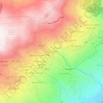
Name: Souk Oufella topographic map, elevation, terrain.
Location: Souk Oufella, Daïra Chemini, Béjaïa, 06042, Algérie (36.58547 4.61830 36.62547 4.65830)
Average elevation: 2,257 ft
Minimum elevation: 331 ft
Maximum elevation: 3,796 ft