
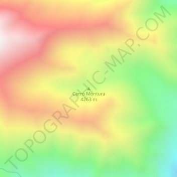
Cerro Montura topographic map
Interactive map
Click on the map to display elevation.
About this map
Name: Cerro Montura topographic map, elevation, terrain.
Average elevation: 13,451 ft
Minimum elevation: 11,509 ft
Maximum elevation: 15,282 ft
Other topographic maps
Click on a map to view its topography, its elevation and its terrain.
Cerro de Los Potrerillos
Argentina > Mendoza > Distrito Uspallata
Cerro de Los Potrerillos, Distrito Uspallata, Departamento Las Heras, Mendoza, Argentina
Average elevation: 9,357 ft