
万林村 topographic map
Interactive map
Click on the map to display elevation.
About this map
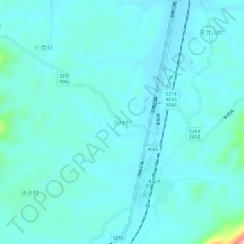
Name: 万林村 topographic map, elevation, terrain.
Location: 万林村, Yueyang, Hunan, Chine (28.59385 113.01729 28.63385 113.05729)
Average elevation: 266 ft
Minimum elevation: 174 ft
Maximum elevation: 971 ft