
Graysville topographic map
Interactive map
Click on the map to display elevation.
About this map
Name: Graysville topographic map, elevation, terrain.
Location: Graysville, Jefferson County, Alabama, United States (33.68141 -86.96761 33.68231 -86.96644)
Average elevation: 407 ft
Minimum elevation: 289 ft
Maximum elevation: 545 ft
Other topographic maps
Click on a map to view its topography, its elevation and its terrain.
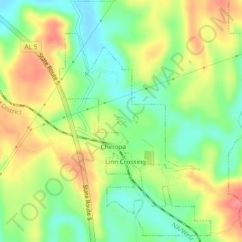
Linn Crossing
United States > Alabama > Jefferson County > Graysville
Linn Crossing, Graysville, Jefferson County, Alabama, 35139, United States
Average elevation: 413 ft