
Tanah Merah topographic map
Interactive map
Click on the map to display elevation.
About this map
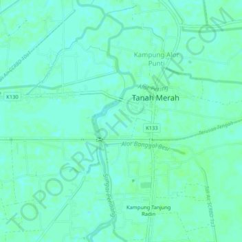
Name: Tanah Merah topographic map, elevation, terrain.
Location: Tanah Merah, Pendang, Kedah, 06700, Malaysia (6.00607 100.45726 6.04607 100.49726)
Average elevation: 13 ft
Minimum elevation: 0 ft
Maximum elevation: 26 ft
Other topographic maps
Click on a map to view its topography, its elevation and its terrain.
Kampung Paya Kerchut
Malaysia > Kedah > Tanah Merah > Kampung Paya Kerchut
Kampung Paya Kerchut, Tanah Merah, Kubang Pasu, Kedah, 06000, Malaysia
Average elevation: 36 ft