
Haouch Lyes topographic map
Interactive map
Click on the map to display elevation.
About this map
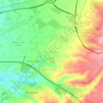
Name: Haouch Lyes topographic map, elevation, terrain.
Location: Haouch Lyes, Ouled Fayet, Daïra Cheraga, Alger, 16084, Algérie (36.70385 2.90219 36.74385 2.94219)
Average elevation: 456 ft
Minimum elevation: 220 ft
Maximum elevation: 735 ft