
Los Aquijes topographic map
Interactive map
Click on the map to display elevation.
About this map
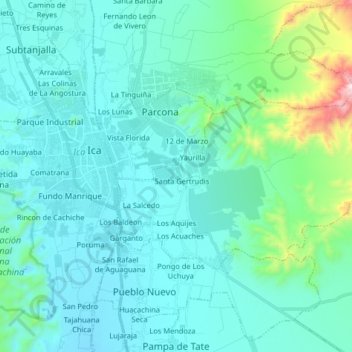
Name: Los Aquijes topographic map, elevation, terrain.
Location: Los Aquijes, Provincia de Ica, Ica, Perú (-14.11776 -75.71909 -14.03351 -75.55643)
Average elevation: 1,644 ft
Minimum elevation: 1,240 ft
Maximum elevation: 4,272 ft