
Dusun Greneng topographic map
Interactive map
Click on the map to display elevation.
About this map
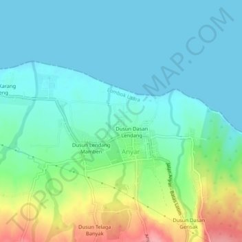
Name: Dusun Greneng topographic map, elevation, terrain.
Average elevation: 92 ft
Minimum elevation: -3 ft
Maximum elevation: 364 ft
Other topographic maps
Click on a map to view its topography, its elevation and its terrain.
Dusun Sri Menganti
Indonesia > West Nusa Tenggara > Lombok Utara > Anyar
Dusun Sri Menganti, Anyar, Lombok Utara, West Nusa Tenggara, Lesser Sunda Islands, Indonesia
Average elevation: 121 ft