
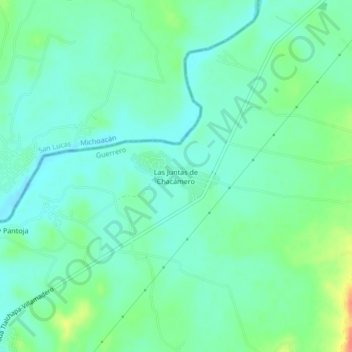
Las Juntas de Chacámero topographic map
Interactive map
Click on the map to display elevation.
About this map
Name: Las Juntas de Chacámero topographic map, elevation, terrain.
Location: Las Juntas de Chacámero, Pungarabato, Guerrero, Mexico (18.35333 -100.63111 18.39333 -100.59111)
Average elevation: 840 ft
Minimum elevation: 787 ft
Maximum elevation: 984 ft