
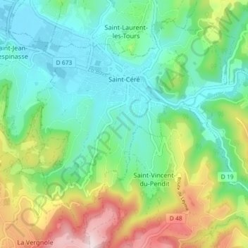
Saint-Céré topographic map
Interactive map
Click on the map to display elevation.
About this map
Name: Saint-Céré topographic map, elevation, terrain.
Average elevation: 906 ft
Minimum elevation: 456 ft
Maximum elevation: 1,919 ft
La superficie de la commune est de 1 133 hectares ; son altitude varie de 141 à 523 mètres.