Auf den Anweiler Weg topographic map
Interactive map
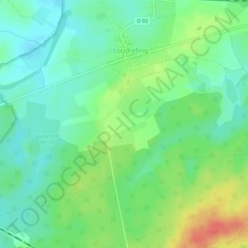
Click on the map to display elevation.
About this map
Name: Auf den Anweiler Weg topographic map, elevation, terrain.
Average elevation: 801 ft
Minimum elevation: 741 ft
Maximum elevation: 909 ft

Click on the map to display elevation.
Name: Auf den Anweiler Weg topographic map, elevation, terrain.
Average elevation: 801 ft
Minimum elevation: 741 ft
Maximum elevation: 909 ft