
Leuvenheim topographic map
Interactive map
Click on the map to display elevation.
About this map
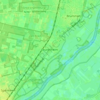
Name: Leuvenheim topographic map, elevation, terrain.
Location: Leuvenheim, Gelderland, Nederland, 6974, Nederland (52.05368 6.12151 52.09368 6.16151)
Average elevation: 33 ft
Minimum elevation: 7 ft
Maximum elevation: 56 ft