
Ngronggot topographic map
Interactive map
Click on the map to display elevation.
About this map
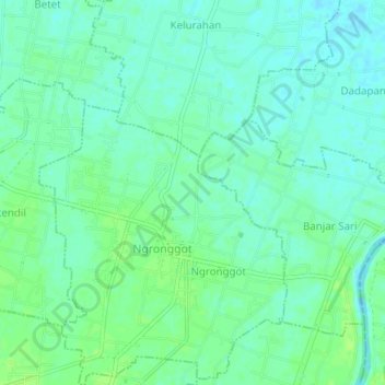
Name: Ngronggot topographic map, elevation, terrain.
Location: Ngronggot, Nganjuk, East Java, Indonesia (-7.69011 112.03828 -7.65011 112.07828)
Average elevation: 164 ft
Minimum elevation: 144 ft
Maximum elevation: 180 ft