
Jay topographic map
Interactive map
Click on the map to display elevation.
About this map
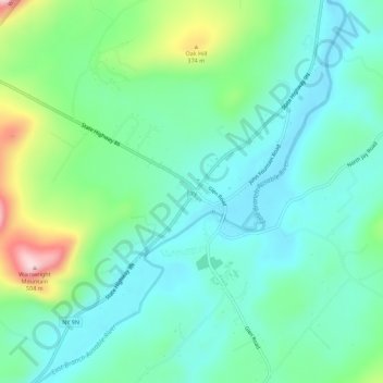
Name: Jay topographic map, elevation, terrain.
Location: Jay, Essex County, New York, 12941, USA (44.35516 -73.74822 44.39516 -73.70822)
Average elevation: 837 ft
Minimum elevation: 587 ft
Maximum elevation: 1,568 ft