
Paraíso topographic map
Interactive map
Click on the map to display elevation.
About this map
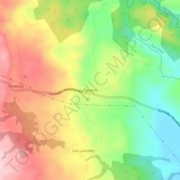
Name: Paraíso topographic map, elevation, terrain.
Location: Paraíso, Cantón Upala, Provincia Alajuela, Costa Rica (10.98313 -85.31880 11.02313 -85.27880)
Average elevation: 722 ft
Minimum elevation: 302 ft
Maximum elevation: 1,161 ft