
Wattwil topographic map
Interactive map
Click on the map to display elevation.
About this map
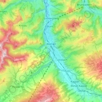
Name: Wattwil topographic map, elevation, terrain.
Location: Wattwil, Wahlkreis Toggenburg, San Gallo, Svizzera (47.24968 9.02036 47.33864 9.15305)
Average elevation: 2,799 ft
Minimum elevation: 1,942 ft
Maximum elevation: 4,337 ft