
La Quinta topographic map
Interactive map
Click on the map to display elevation.
About this map
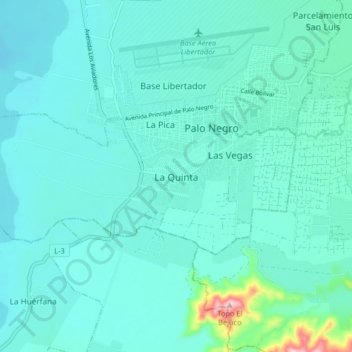
Name: La Quinta topographic map, elevation, terrain.
Location: La Quinta, Aragua, 2117, Venezuela (10.11199 -67.60156 10.19199 -67.52156)
Average elevation: 1,424 ft
Minimum elevation: 1,329 ft
Maximum elevation: 2,096 ft