
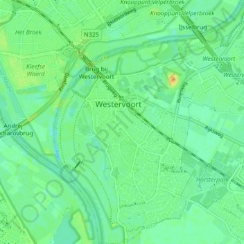
Westervoort topographic map
Interactive map
Click on the map to display elevation.
About this map
Name: Westervoort topographic map, elevation, terrain.
Location: Westervoort, Gelderland, Nederland (51.93868 5.94925 51.98065 6.00319)
Average elevation: 36 ft
Minimum elevation: 7 ft
Maximum elevation: 95 ft