
Asti topographic map
Interactive map
Click on the map to display elevation.
About this map
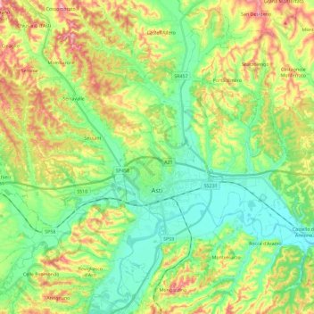
Name: Asti topographic map, elevation, terrain.
Location: Asti, AT, Piemont, Italy (44.84102 8.08798 44.99455 8.31671)
Average elevation: 568 ft
Minimum elevation: 328 ft
Maximum elevation: 997 ft