
Bouandas topographic map
Interactive map
Click on the map to display elevation.
About this map
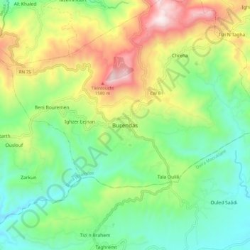
Name: Bouandas topographic map, elevation, terrain.
Location: Bouandas, Daïra Bouandas, Sétif, Algérie (36.45413 5.06124 36.53413 5.14124)
Average elevation: 3,202 ft
Minimum elevation: 2,070 ft
Maximum elevation: 5,243 ft