
Staffanstorp topographic map
Interactive map
Click on the map to display elevation.
About this map
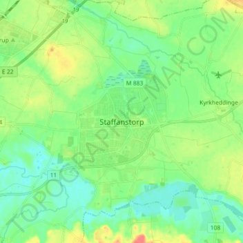
Name: Staffanstorp topographic map, elevation, terrain.
Location: Staffanstorp, Skåne County, Region Götaland, 24523, Sweden (55.60274 13.17140 55.68274 13.25140)
Average elevation: 59 ft
Minimum elevation: 10 ft
Maximum elevation: 154 ft