
Allie topographic map
Interactive map
Click on the map to display elevation.
About this map
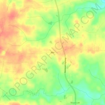
Name: Allie topographic map, elevation, terrain.
Location: Allie, Meriwether County, Georgia, USA (33.07929 -84.74882 33.11929 -84.70882)
Average elevation: 827 ft
Minimum elevation: 728 ft
Maximum elevation: 896 ft