
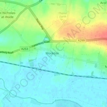
Monkton topographic map
Interactive map
Click on the map to display elevation.
About this map
Name: Monkton topographic map, elevation, terrain.
Location: Monkton, Kent, South East, England, CT12 4JQ, United Kingdom (51.31879 1.26200 51.35879 1.30200)
Average elevation: 49 ft
Minimum elevation: 0 ft
Maximum elevation: 164 ft