
Rangewood topographic map
Interactive map
Click on the map to display elevation.
About this map
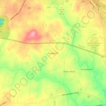
Name: Rangewood topographic map, elevation, terrain.
Location: Rangewood, Orange County, North Carolina, 27516, USA (35.90098 -79.14418 35.94098 -79.10418)
Average elevation: 499 ft
Minimum elevation: 272 ft
Maximum elevation: 673 ft