
Chota topographic map
Interactive map
Click on the map to display elevation.
About this map
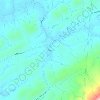
Name: Chota topographic map, elevation, terrain.
Location: Chota, Blount County, Tennessee, USA (35.59703 -84.05685 35.63703 -84.01685)
Average elevation: 1,050 ft
Minimum elevation: 869 ft
Maximum elevation: 2,080 ft