
Sajama topographic map
Interactive map
Click on the map to display elevation.
About this map
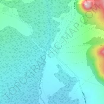
Name: Sajama topographic map, elevation, terrain.
Location: Sajama, Provincia Sajama, Oruro, Bolivia (-18.15587 -68.99624 -18.11587 -68.95624)
Average elevation: 13,980 ft
Minimum elevation: 13,786 ft
Maximum elevation: 14,908 ft
Other topographic maps
Click on a map to view its topography, its elevation and its terrain.